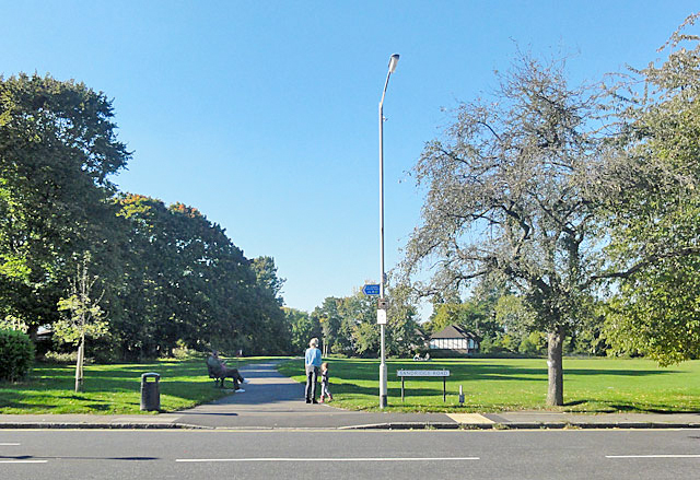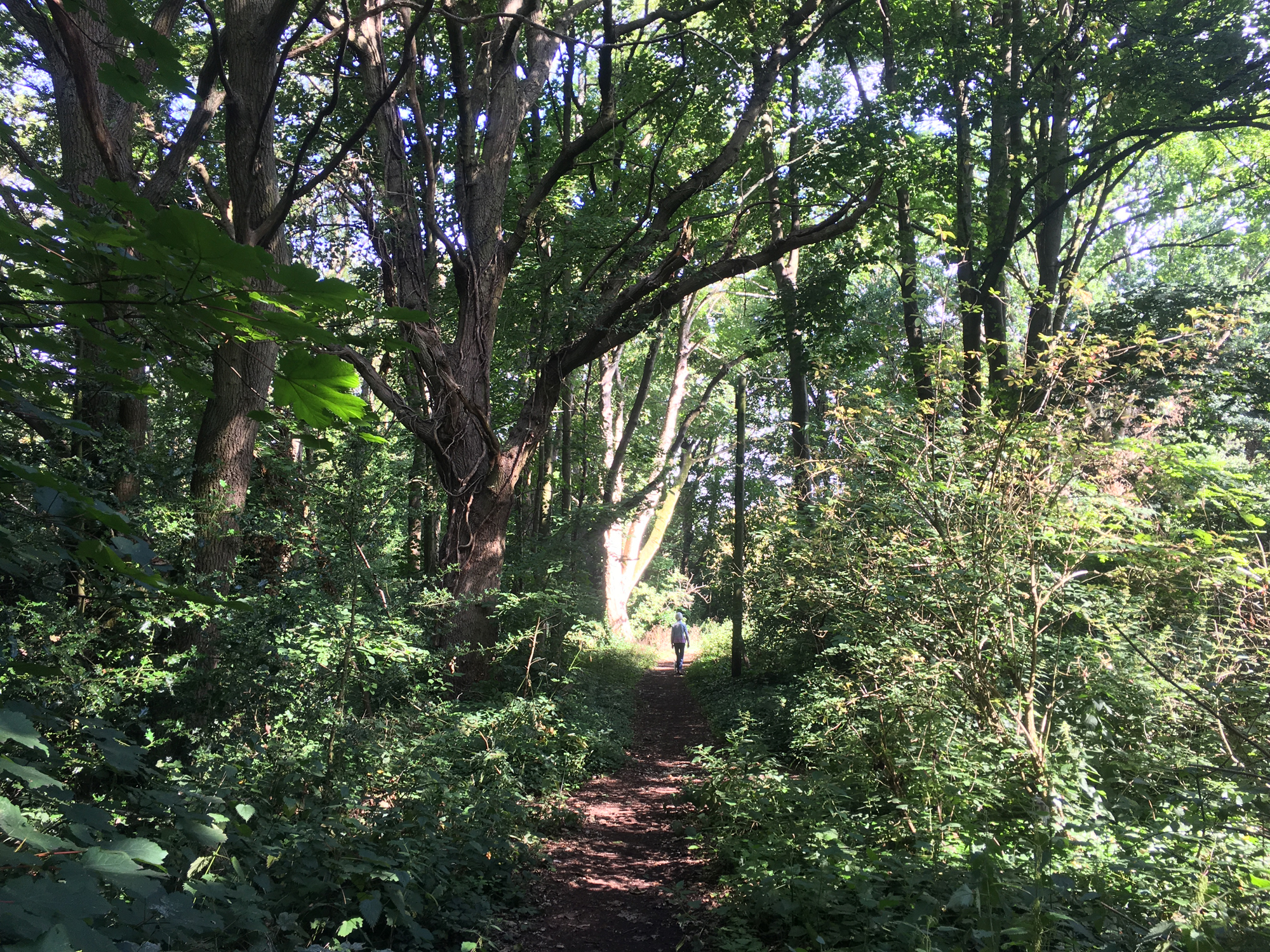
The St Albans Green Ring is a continuous walking and cycling route (approx. 9Km long) that encircles the city centre. The route primarily enhances existing cycling and walking routes and extends from Townsend in the north to Fleetville in the east, Sopwell in the south and into Verulam Estate to the west (St Albans City Council) The Section that passes through the Heath is shown by the broken white line below.
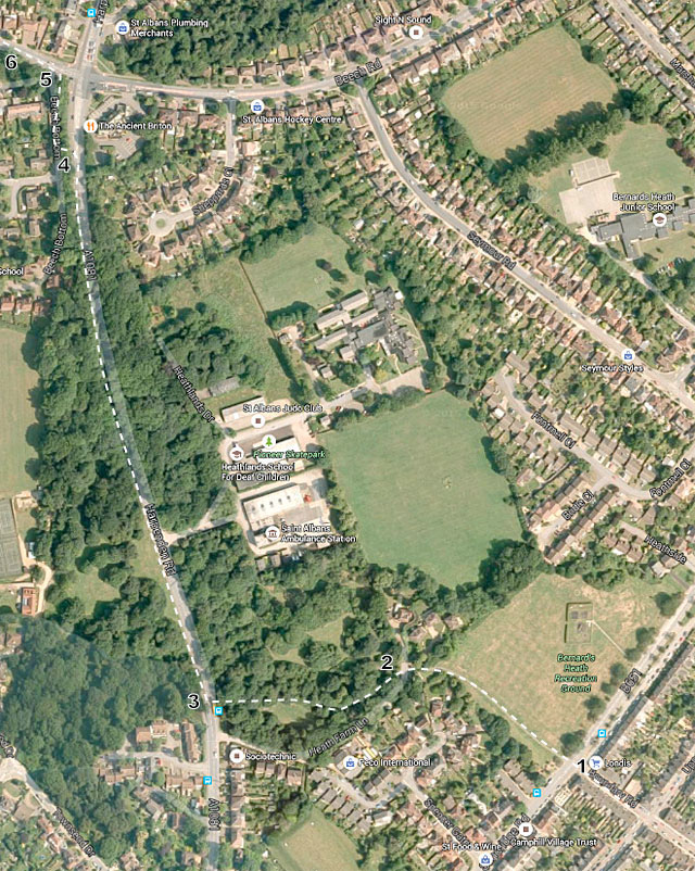
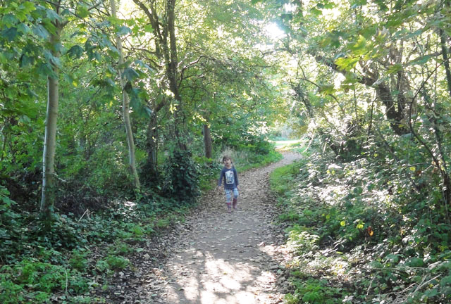
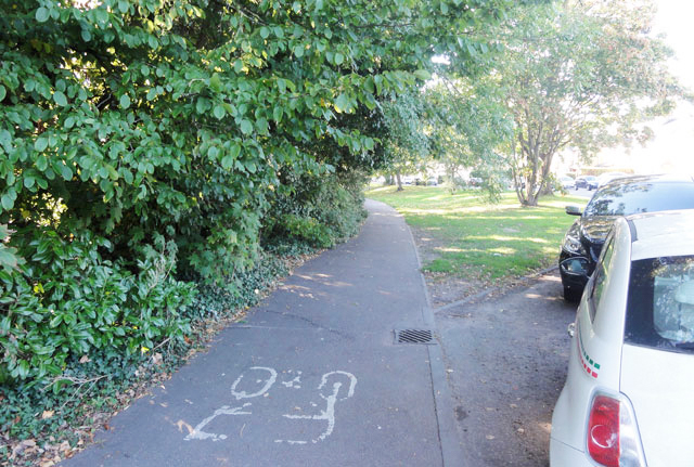
The section of the Green Ring that passes through Bernards Heath has been completed. The part that crosses the Upper Field was already tarmac and this has been widened to 2.5 metres. See FoBH view on section 2 – 3.