Storm Ciara takes its Toll

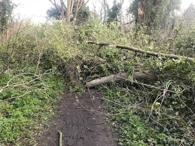
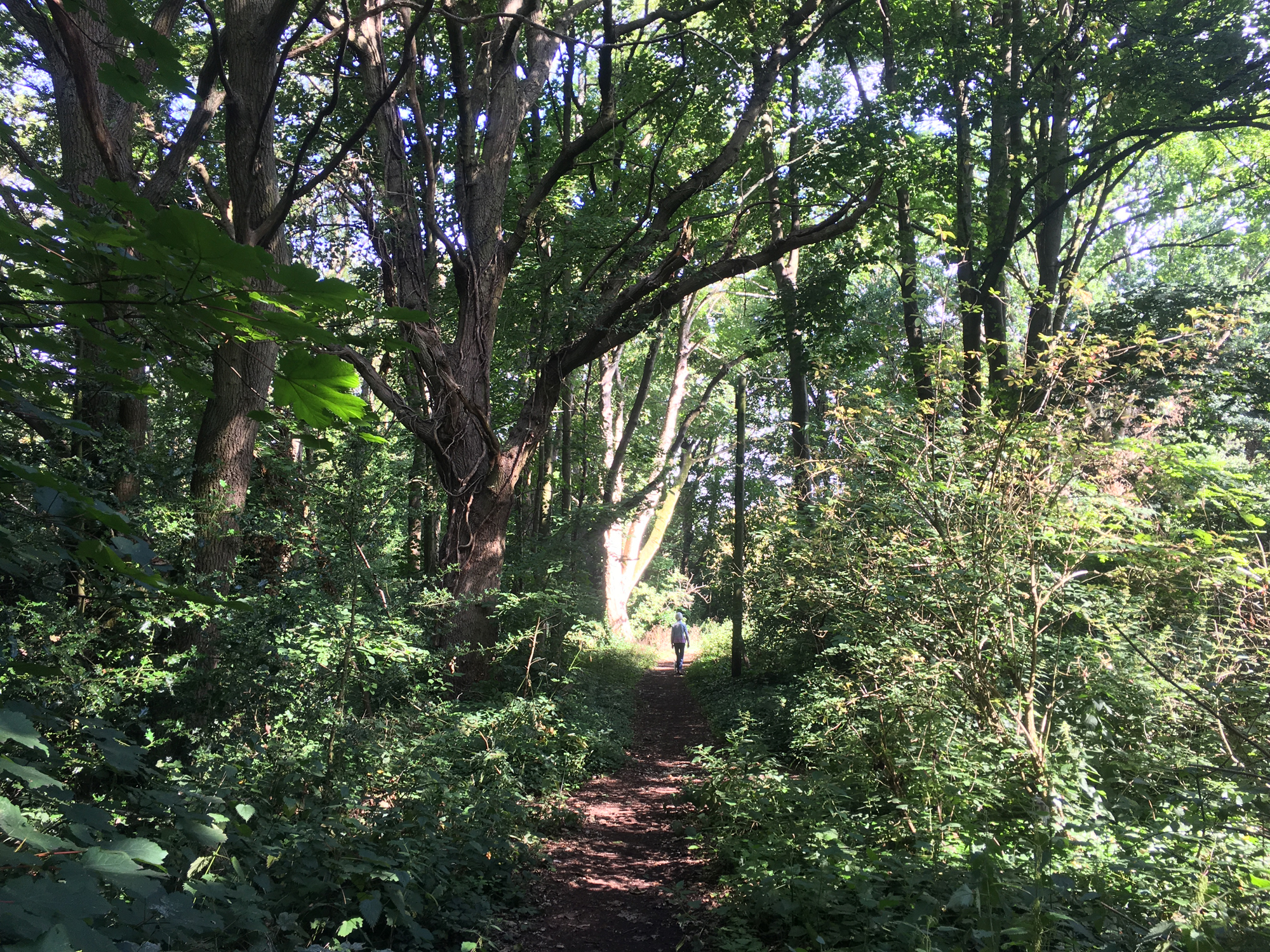
This large tree fell on a path during Storm Ciara on Sunday, February 9th. The path is the second on the right after entering Spinney Lane (see arrow on map alongside) and it is blocking the path, unless you are really determined to get through!  Now cleared! It was on the big side for the Friends to clear, so the Council has been informed. No doubt they have plenty of debris to clear – hopefully they will be able to get to it soon.

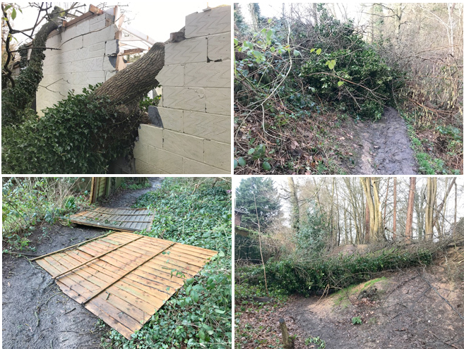
More substantial trees have since fallen as shown below:

Photos: PC

New Depression appears on the Lower Field

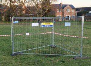
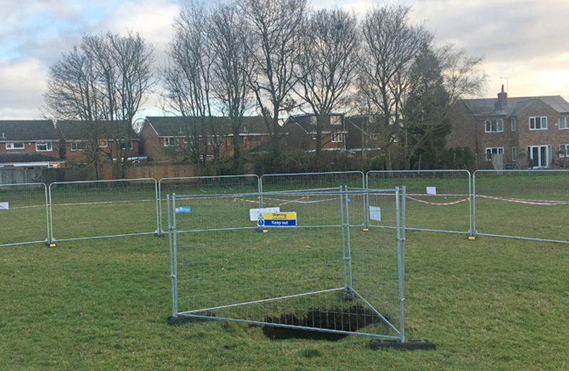
The depression in closeup is about 2 m wide and 0.5 m deep.

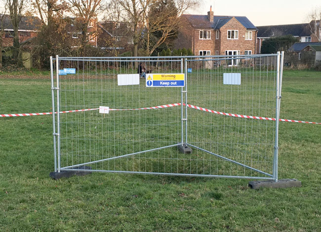
This small depression has appeared on the Lower Field and has been cordoned off. The Fontmell Close sinkhole was probably only 200 m away, although in this case it may be a consequence of the rubbish that was buried in the area.

Depression getting deeper and exclusion zone much extended
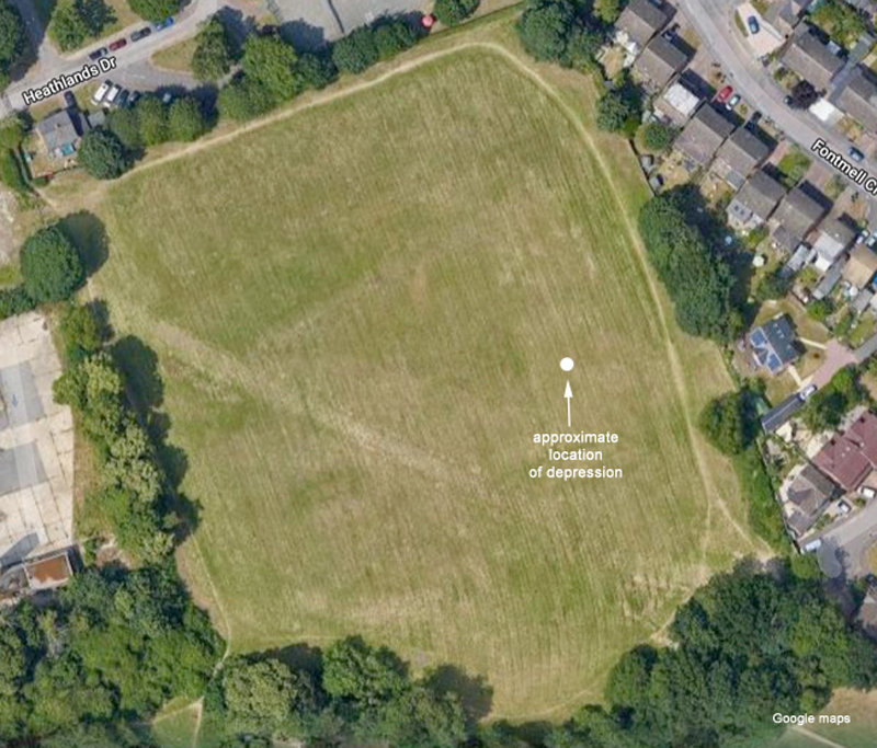
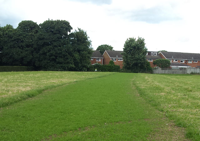
The Lower Field, showing the location of the depression. The diagonal mark across the field is the result of the temporary access route used in the Fontmell Close incident.

The field was surveyed in detail in 2015 since it is in the area covered by old clay pits and was the site of a rubbish tip. The company Carter Jonas was involved in the survey and is now in the process of reviewing the ground condition reports for the site.

Repair of Vandalised Bench

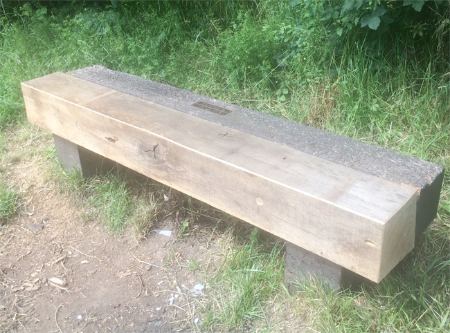
This bench, which faces Heath Farm Lane, was badly damaged by an attempt to burn it. Now RM, with help from some pupils at Sandringham School, has done an excellent job of repairing it. The wood is English oak, which is very expensive – it fact it would cost several hundred pounds to make a bench like this, not counting labour.

Unfortunately, there have recently been other incidents of senseless vandalism. Attempts to burn other benches and rubbish bins as well as spray painting – it only spoils the Heath for the majority of users.

Planned destruction of recently restored fence

A well planned act of wanton destruction took place on the path between Spinney Cottage and Harpenden Road last Thursday or Friday, 23rd/24th August. A fence that was recently repaired was taken apart and sawn up to make a ramp for people on bikes. It is very dangerous.

If you saw any activity in this area, we would like to hear from you (use FoBH Mail in the side bar). Any witness responding will not have their name divulged to anyone other than the police.

The wood and ramp has now been removed (6/9/18)

Storm Doris – Trees suffering

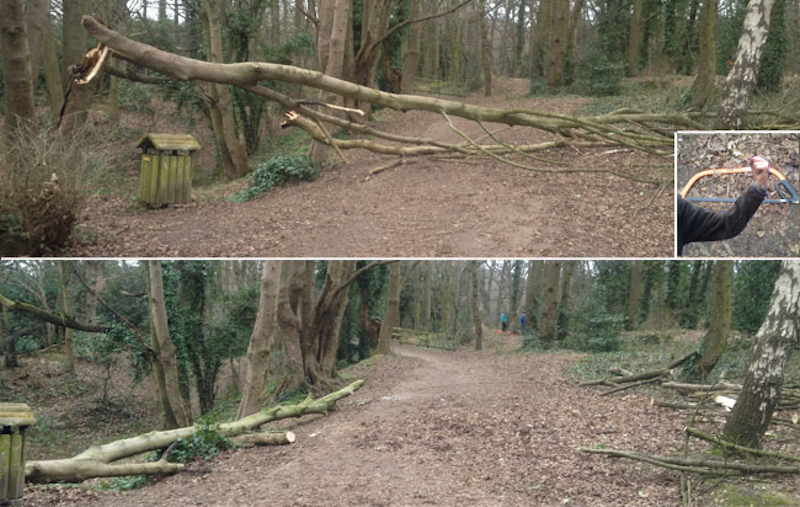
This heavy branch (top photo) )was left across the track from Townsend Drive to the Ancient Briton as the result of Storm Doris. Our chainsaw was faulty, so we were reduced to muscle power and bow saws (inset).  As a result this precariously perched branch was moved out of the way.  A fallen tree in Harpenden Road caused traffic to be diverted to Townsend Drive/Waverley Road on Saturday afternoon.

Japanese Knotweed on the Heath

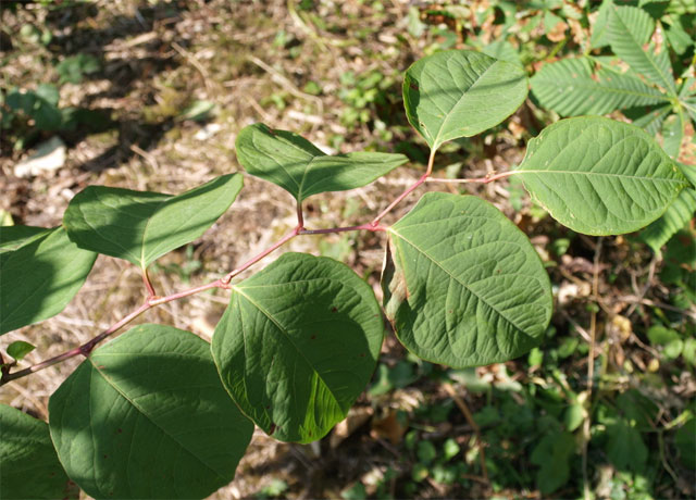
Japanese knotweed, showing its characteristic zig-zag branch structure

There have been several outbreaks of the not unattractive, but very invasive plant Japanese knotweed on the Heath, mostly near the old Fire Station and behind the Judo Club. It is a major problem in that it grows very rapidly and can cause serious damage, especially to underground structures. A garden outbreak can easily be a reason to refuse a mortgage application.

Continue reading “Japanese Knotweed on the Heath”

Beech Bottom Dyke Action Day 1 – FoBH clears the way

Will secateurs and loppers do the job? Maybe we’ll need something more serious!

Friends of Bernards Heath made a big effort to start clearing paths at Beech Bottom Dyke on Saturday morning.  Thank you everyone who took part.

Where, and what is Beech Bottom Dyke?  It is a major pre-Roman ancient earth work that begins at the junction of Townsend Drive and Batchwood Drive and runs for the first part parallel to Beech Road, then on across Valley Road to the railway embankment.  The Dyke is a Scheduled Ancient Monument (SAM) under the protection of Historic England and owned and managed by St Albans District Council.  The Google aerial view below makes the prominent part of the location clear and shows where we carried out path clearance work.  Read more about the Dyke here.

Continue reading “Beech Bottom Dyke Action Day 1 – FoBH clears the way”