It appears that the old orchard (the bottom, sloping field which boarders Shepards close and Heathlands school) will soon be fenced off. FOBH understand that this is to allow drilling on the site to check the soil ahead of a planning application for the site.
It is believed that there will be a planning application for up to 50 houses lodged on the site soon. For our latest information, check out our AGM minutes.
Following the emergence of a depression or ‘hole’ not far from the centre of the Lower Field in late November 2019, Hertfordshire County Council commissioned a geophysical survey of the Field by GBG Geotechnics, Cambridge. A lengthy quite technical report on the survey was made available to FoBH and here we try to summarise its findings.
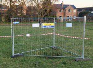
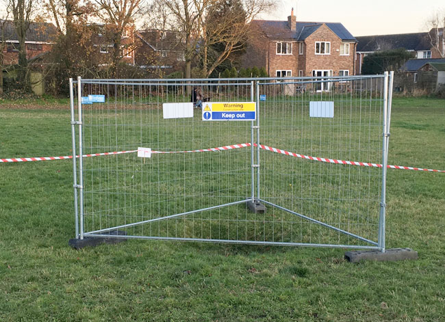
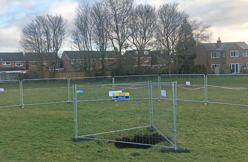
The hole was promptly surrounded by safety fencing and soon after by more fencing. The appearance of yet more fenced off areas last year led to some concern whether the whole field would be excluded to the public. We have no indication that this might be the case.
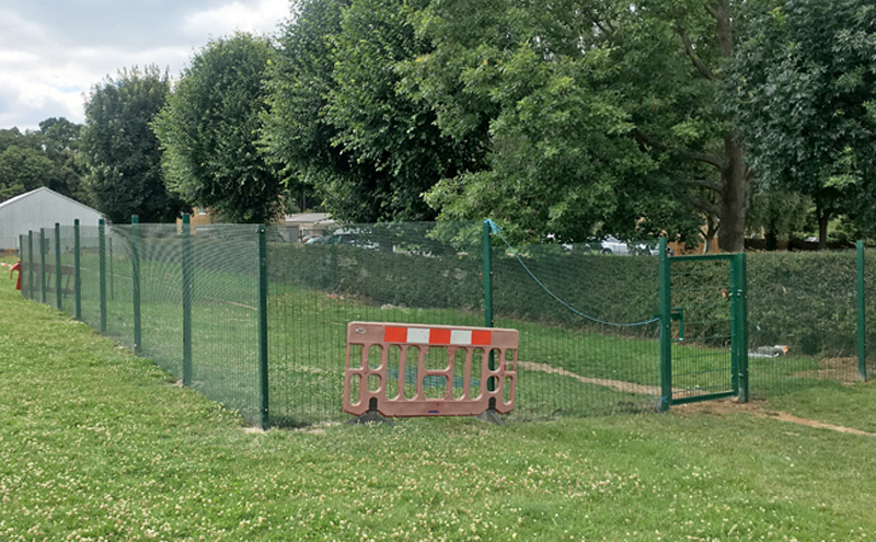
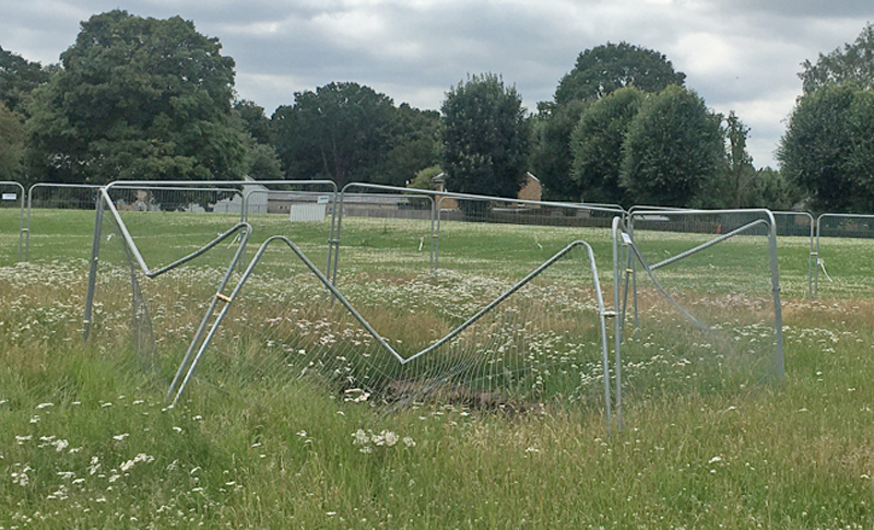
A second depression or pit, close to the hedge on the northern side of the Lower field has been apparent for some time. The small size of the pit is in contrast with the relatively large area of enclosed by a new fence – perhaps there is more to this than we know. At least this fence is green and blends in with the surroundings.
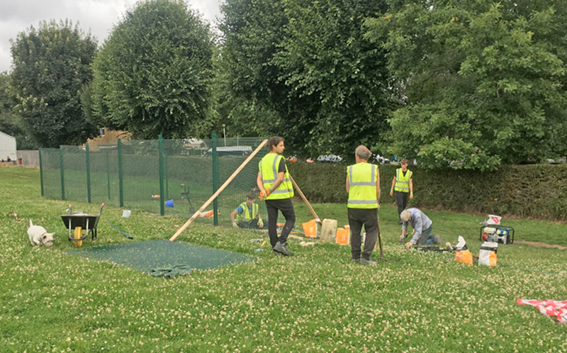
Installation of new fence
For some reason theinner fence around the other depression has now been damaged in a way that must have needed some force. A JCB perhaps? See below.
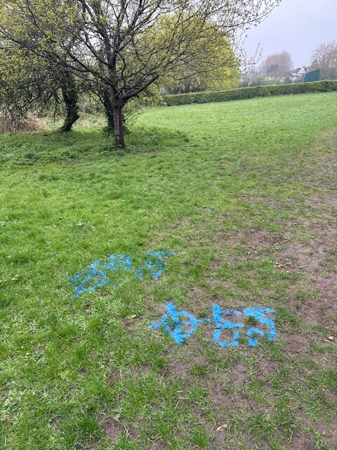
The depression in closeup is about 2 m wide and 0.5 m deep.
This small depression has appeared on the Lower Field and has been cordoned off. The Fontmell Close sinkhole was probably only 200 m away, although in this case it may be a consequence of the rubbish that was buried in the area.
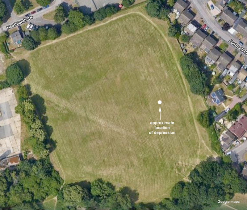
Depression getting deeper and exclusion zone much extendedThe Lower Field, showing the location of the depression. The diagonal mark across the field is the result of the temporary access route used in the Fontmell Close incident.
The field was surveyed in detail in 2015 since it is in the area covered by old clay pits and was the site of a rubbish tip. The company Carter Jonas was involved in the survey and is now in the process of reviewing the ground condition reports for the site.
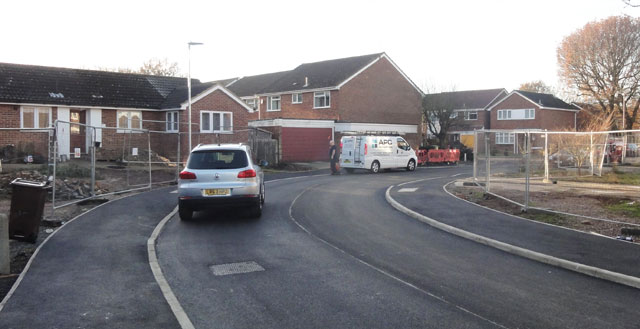
It must be a great relief to residents of Fontmell and Bridle close that almost all traces of the sinkhole have gone after 14 months of repair works. The Grand Opening is on Saturday, 3rd December.
FoBH looks forward to the removal of the temporary road across the Lower Heath, scheduled for early next year.
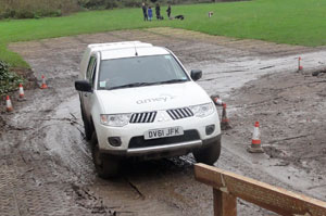
Still digging – efforts continue to ease access for residents of Fontmell and Bridle Close. Mud has been a real problem and now a third almost diagonal track is being developed across the Lower Field, this time with a more substantial base of sand and gravel, similar to that used on the Green Ring. It will be accessed through the old Fire Station Grounds.
While the unresolved problem of the sinkhole, or crown hole, has been less prominent in the news of late, activity has been focused on access for residents of Fontmell Close and Bridle close. It is still a very muddy, but at least residents have been connected to essential utilities. A shuttle service truck is shown alongside.
Access on foot has been improved by the extending the footpath from the children’s play area to the end of Bridle Close, but rain has made vehicular access a real problem.
No doubt you were wondering what this is. It’s the mud that residents of Fontmell Close and Bridle Close have to cope with to access their homes. A temporary road made of large plastic panels has been installed across the Lower Field to provide access to the houses that are still unreachable due to the sinkhole (geological term ‘crown hole’).
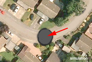
The dramatic impact of a collapse 66 feet across on the residents of Fontmell and Bridle Close is beginning to emerge. Many have suffered loss of essential services and arrangements for emergency services have been made.
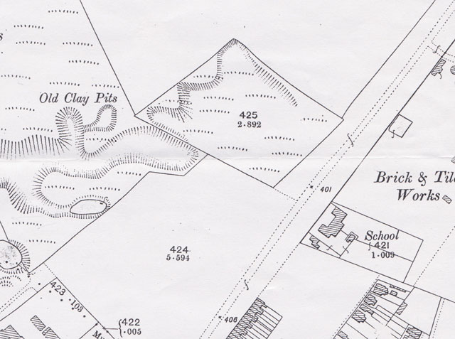
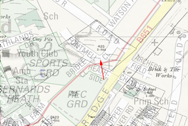
While it has been known for some time that this area of what was Bernards Heath was prone to collapse, the size of hole is unprecedented. An overlay of the 1898 OS map in this area places old clay pits very close to Fontmell Close, see below, and could well be a contributary cause.
1898 OS map showing old clay pitsOverlay of semi transparent 1898 map onto above map. The site is arrowed in red.
Hertfordshire County Council is arranging for some non-intrusive ground investigation works in the area, commencing this weekend (3rd October): they will be on site for about a week. The company concerned is Geotechnology limited, and will be taking access to the site from Heathlands Drive. We await the findings with interest.