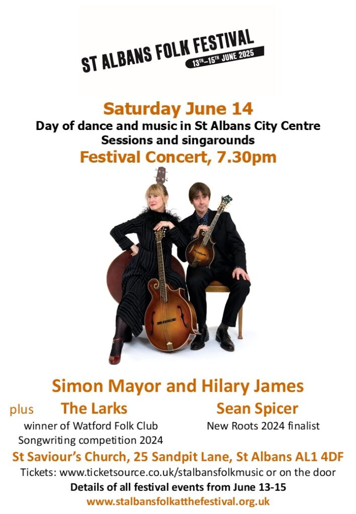
A festival concert at St Saviours Church on Saturday the 14th June, run by the St Albans Folk Festival.
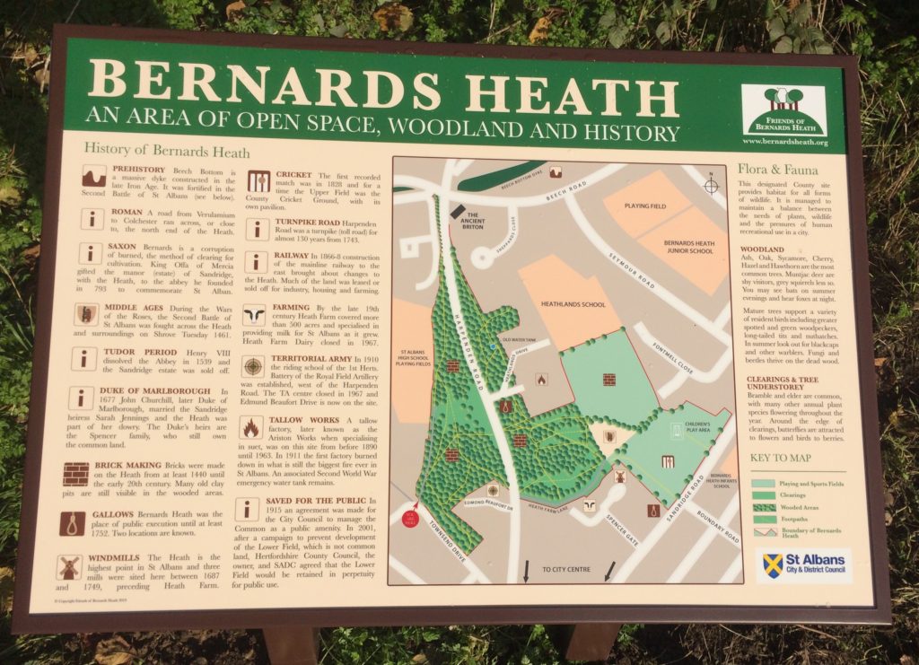
including Beech Bottom Dyke and Sandridge Road Wastes
A festival concert at St Saviours Church on Saturday the 14th June, run by the St Albans Folk Festival.
and possibly the site of the 2nd battle of St Albans 1481.
See larger image here
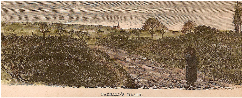
This is the earliest picture of the Heath that we know of that dates from the early 19th century.
The picture comes from a document entitled ‘Our own country’ and is published by Cassell and Co. Ltd. It was digitised by the the University of California. No author is mentioned.
It has been suggested that the view is looking north towards Sandridgebury and another suggestion is that the building in the distance is more likely to be St Leonard’s Church, Sandridge.
It is interesting that most of the pictures in the document mentioned above are easily relatable to local buildings or scenery, including those in St Albans, but this view could have been related to many locations, perhaps even including the artist’s mind.
Update 14th June 2023
A chance meeting by Peter Burley with a former resident of Sandbridgebury House has confirmed that the building in the picture is indeed her former home. What better provenance – thank you Peter.
The picture is currently exhibited in St Albans Museum + Gallery.
The Friends of Bernards Heath (FoBH) believe that the Heath provides an exceptional natural amenity for the locality and the Society exists in order to protect, preserve and where appropriate enhance the Heath for the benefit of the neighbourhood as a whole. Membership provides you with a forum to express your opinions about the Heath and an opportunity to help preserve it for future generations.
We liaise with the Countryside Management Service and St Albans District Council to update the Greenspace Action Plan for Beech Bottom Dyke and Bernards Heath.
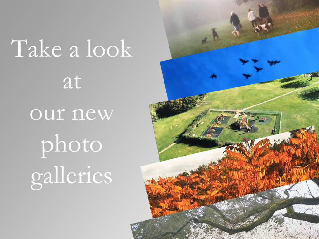
This is just a selection of work done by the Friends of Bernards Heath.
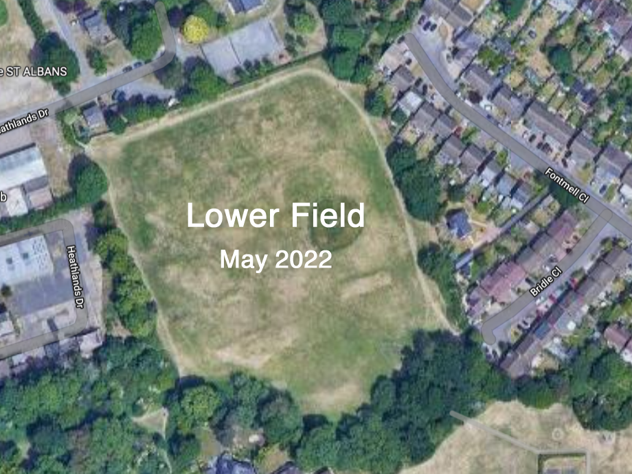
Campaigns to protect the Lower Field
from further development
Planned interpretation boards for the Heath, Sandridge Road Wastes
and Beech Bottom Dyke