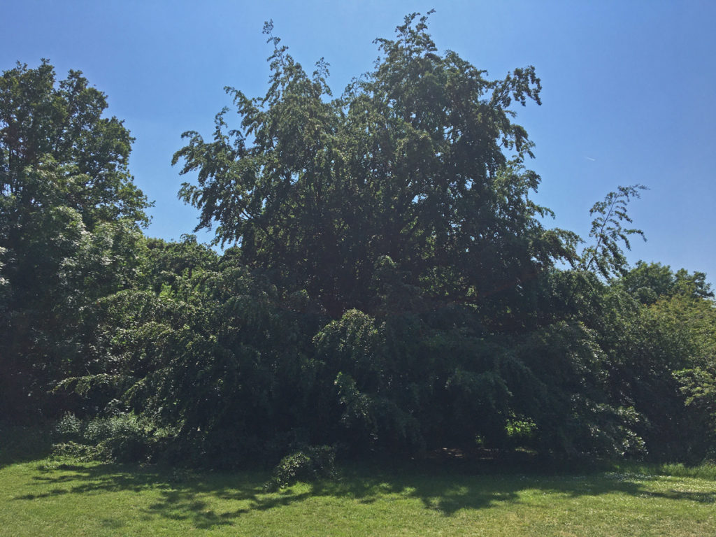
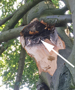
There can be little doubt that the beech tree shown below is the largest and and most attractive on the Heath. Unfortunately, it has lost a big branch. Roger Miles, tree warden, has pointed out that this was the result of water collecting at the base of the branch and causing rot. A similar event occurred on a Sandridge Road cherry tree last year.
Beech tree on the open grassy area in front of Spinney Cottage
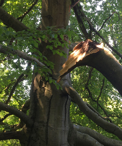
Part of the fallen branch
Rotten area where branch came from
The heavy branch hangs dangerously on other branches and should not be approached. The Council has been informed and we hope that it can be dealt with soon.
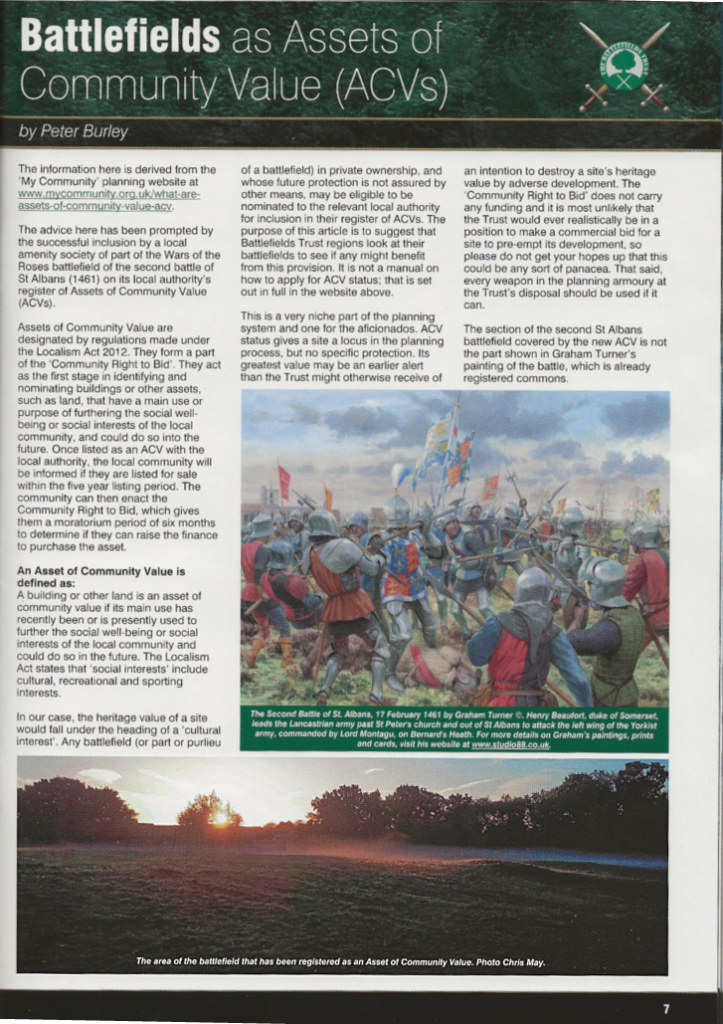
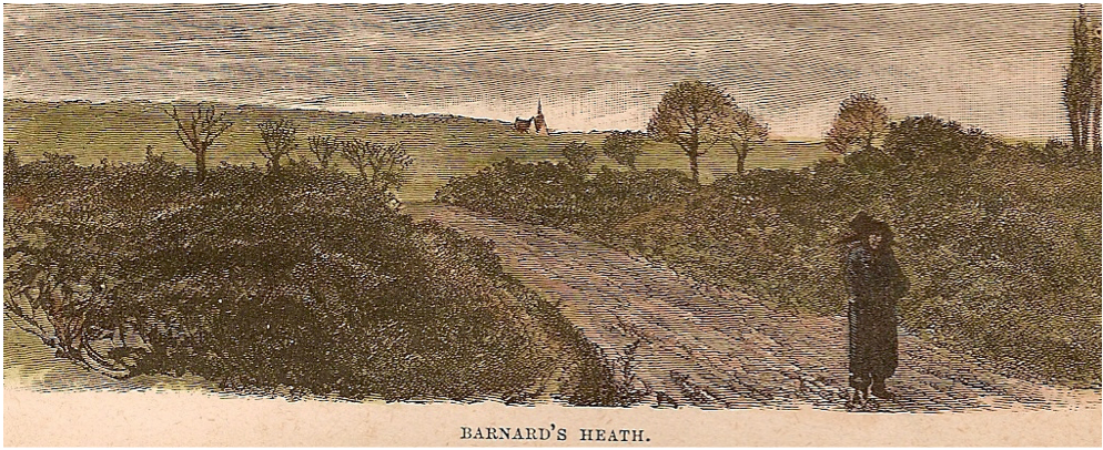
Local historian, Peter Burley, has recently published an account of ‘Battlefields as Assets of Community Value (ACVs)’ in the Battlefield Magazine. You may well ask what is an ACV? , well the answer to this appears in the article, a copy of which is shown below with particular reference to the second Battle of St Albans, 1461 on Bernards Heath.
The text is not easy to read in the copy below, so this is reproduced in the pdf document here. The copy depicts a scene from the Battle, painted by Graham Turner.
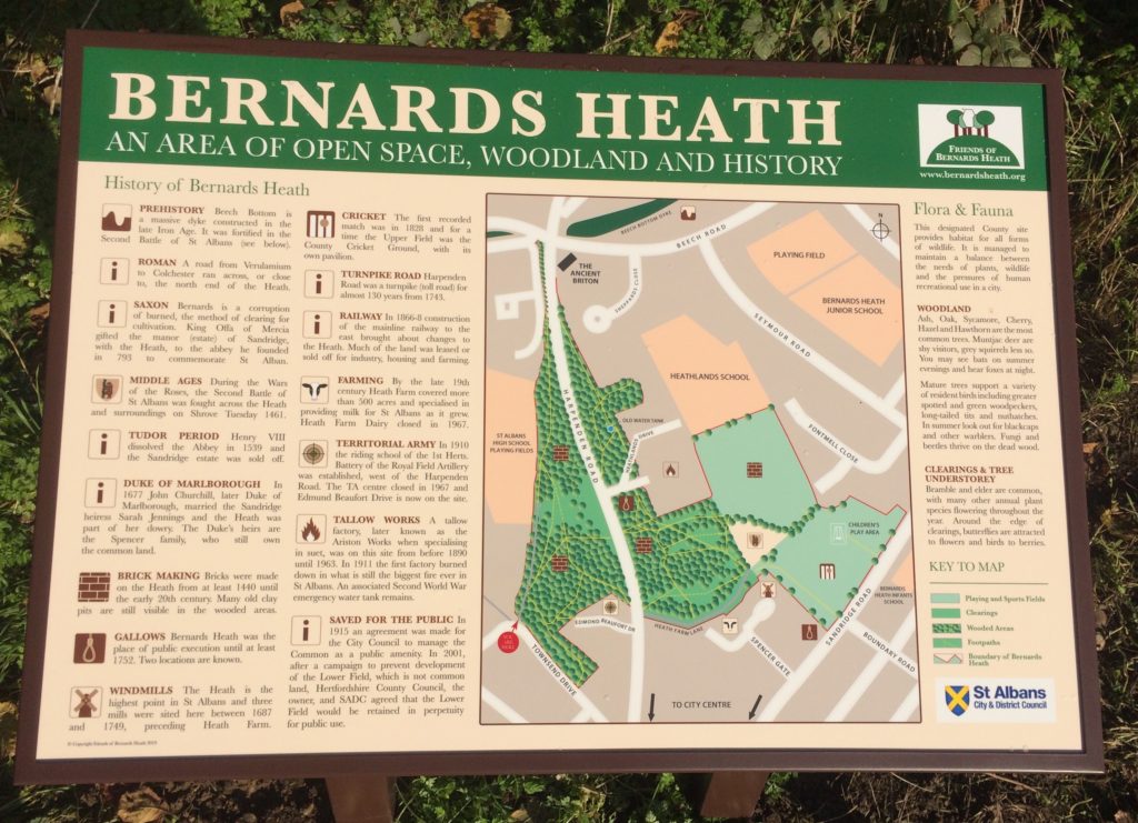
The Friends of Bernards Heath (FoBH) exists for the interests of two of the three pieces of registered common land which lie within St Albans’ city boundaries; Bernards Heath and Sandridge Road Wastes.
Sandpit Lane Wastes are not included. Note that Beech Bottom Dyke, another Friends concern, is a Scheduled Ancient Monument (SAM), but not common land and is owned by St Albans District Council (SACDC).
This is the earliest picture of the Heath that we know of that dates from the early 19th century.
The picture comes from a document entitled ‘Our own country’ and is published by Cassell and Co. Ltd. It was digitised by the the University of California. No author is mentioned.
It has been suggested that the view is looking north towards Sandridgebury and another suggestion is that the building in the distance is more likely to be St Leonard’s Church, Sandridge.
It is interesting that most of the pictures in the document mentioned above are easily relatable to local buildings or scenery, including those in St Albans, but this view could have been related to many locations, perhaps even including the artist’s mind.
Update 14th June 2023
A chance meeting by Peter Burley with a former resident of Sandbridgebury House has confirmed that the building in the picture is indeed her former home. What better provenance – thank you Peter.
The picture is currently exhibited in St Albans Museum + Gallery.
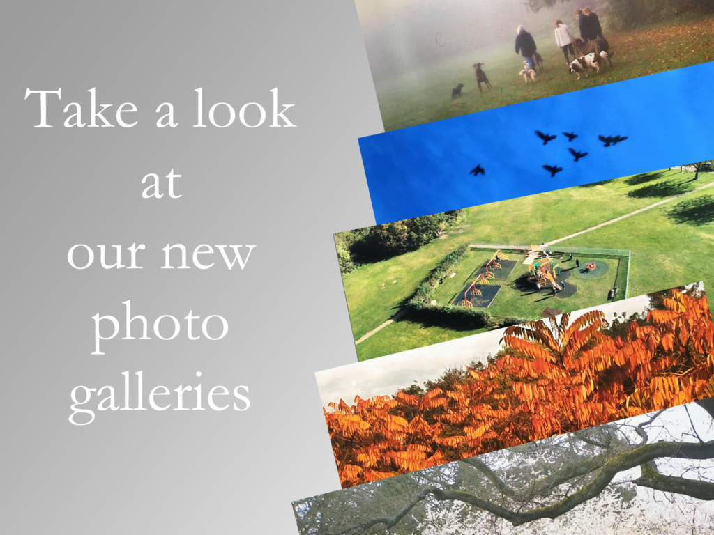
Want to find out what’s happening on the Heath, or perhaps some aspect of history, or even how the weather has been, then bear in mind that help is at hand. There is a lot of information on this website, so if the menu items do not lead you to the right places, here are some ways to find what you are looking for.
Type in your search words into the box to the top right of the sidebar (column on the right).
or
The archives are good for searching specific Posts. They date back to 2014. Click the right arrows for a monthly search
or
Most posts have a category and an alphabelical list of these appears on the right hand sidebar.
or
Is able to match your query to match almost anything in the website. Amazing!
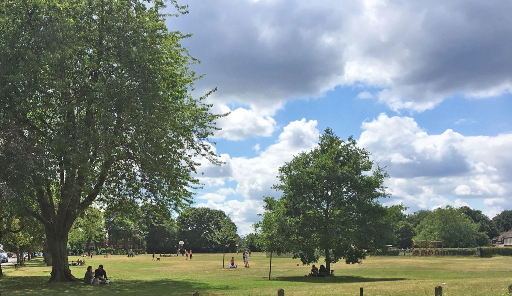
The Friends of Bernards Heath (FoBH) believe that the Heath provides an exceptional natural amenity for the locality and the Society exists in order to protect, preserve and where appropriate enhance the Heath for the benefit of the neighbourhood as a whole. Membership provides you with a forum to express your opinions about the Heath and an opportunity to help preserve it for future generations.
We liaise with the Countryside Management Service and St Albans District Council to update the Greenspace Action Plan for Beech Bottom Dyke and Bernards Heath.
This is just a selection of work done by the Friends of Bernards Heath.
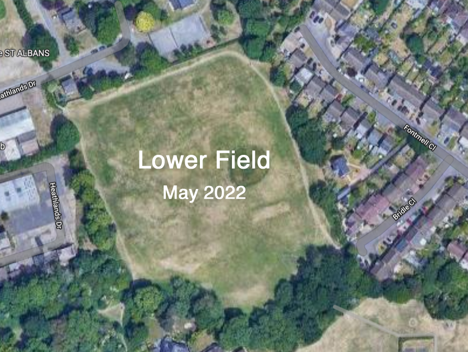
Campaigns to protect the Lower Field from further development
Planned interpretation boards for the Heath, Sandridge Road Wastes and Beech Bottom Dyke