Autumn Action Day – Clearance Work at Beech Bottom Dyke

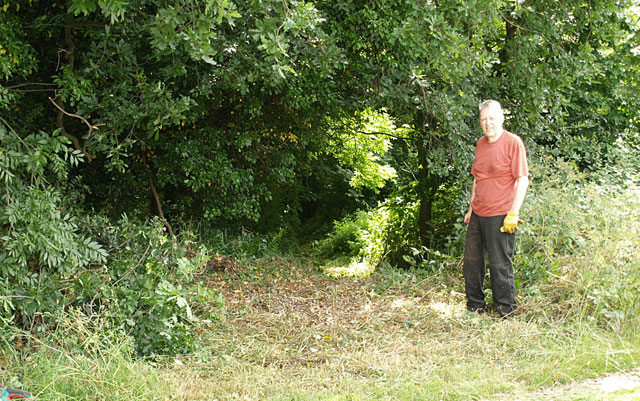
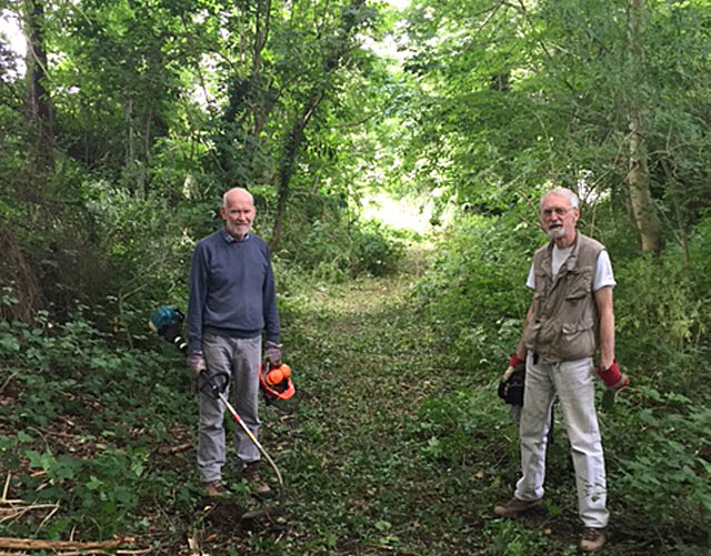
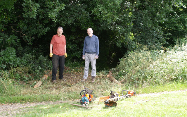
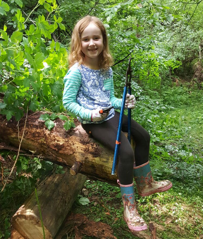
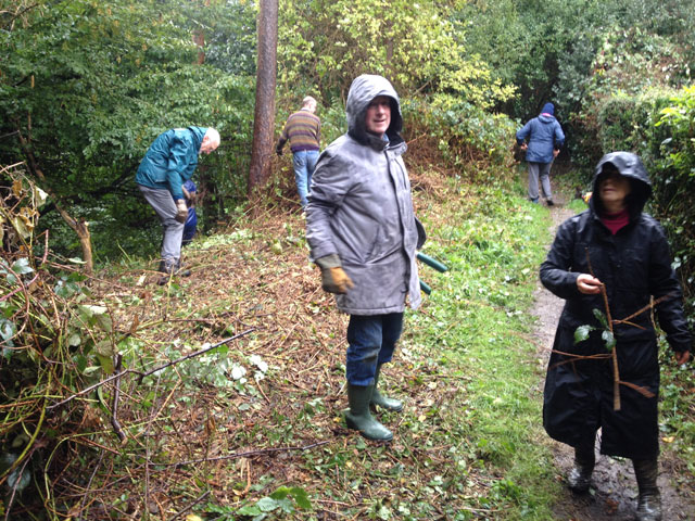
Despite heavy rain on the morning of Sunday 16th October, an intrepid group of volunteers were able to clear large areas of brambles adjacent to the path on the southern side of the Dyke.  This clearance work not only makes the the path more accessible, but gives clear views to the bottom of the Dyke. It may also provide more ventilation to the Dyke and reduce its boggy nature at certain points.

Continue reading “Autumn Action Day – Clearance Work at Beech Bottom Dyke”

Beech Bottom Dyke, Mini Action Day

A slippery steep slope made access difficult during our efforts to clear the bottom of Beech Bottom Dyke, and this has now been addressed by clearing a path near the Ancient Briton Junction. The arrow shows where we started.

It proved easy to clear back growth in this area to reveal a gentle slope to the bottom of the Dyke.

For the time being, it is not only the new entrance, but also the only exit, unless you are a mountain goat!

Photos: PC and RM

Beech Bottom Dyke Action Day 1 – FoBH clears the way

Will secateurs and loppers do the job? Maybe we’ll need something more serious!

Friends of Bernards Heath made a big effort to start clearing paths at Beech Bottom Dyke on Saturday morning.  Thank you everyone who took part.

Where, and what is Beech Bottom Dyke?  It is a major pre-Roman ancient earth work that begins at the junction of Townsend Drive and Batchwood Drive and runs for the first part parallel to Beech Road, then on across Valley Road to the railway embankment.  The Dyke is a Scheduled Ancient Monument (SAM) under the protection of Historic England and owned and managed by St Albans District Council.  The Google aerial view below makes the prominent part of the location clear and shows where we carried out path clearance work.  Read more about the Dyke here.

Continue reading “Beech Bottom Dyke Action Day 1 – FoBH clears the way”

Beech Bottom Dyke – Greenspace Action Plan Update

Beech Bottom Dyke is a large ditch up to 33 feet deep running for almost a mile at the northern edge of St Albans. It is of considerable archaeological importance, contains a valuable area of ancient woodland flora, and is an area of green infrastructure which deserves improved public access.

To conserve and improve this area, the Beech Bottom Dyke Greenspace Action Plan (GAP) was produced by The Countryside Management Service (CMS) in collaboration with FoBH in 2013 and you can read it here (pdf).

Continue reading “Beech Bottom Dyke – Greenspace Action Plan Update”